
International
Tropical Storms Bret, Cindy form in early start to hurricane season
Media Landscape
This story is a Media Miss by the right as only 12% of the coverage is from right leaning media.
Learn more about this dataLeft 54%
Center 35%
Right 12%
Bias Distribution Powered by Ground News™
Tags: Barbados, Hurricane season, Martinique, National Hurricane Center, Tropical Storm Arlene, Tropical Storm Bret, Tropical Storm Cindy
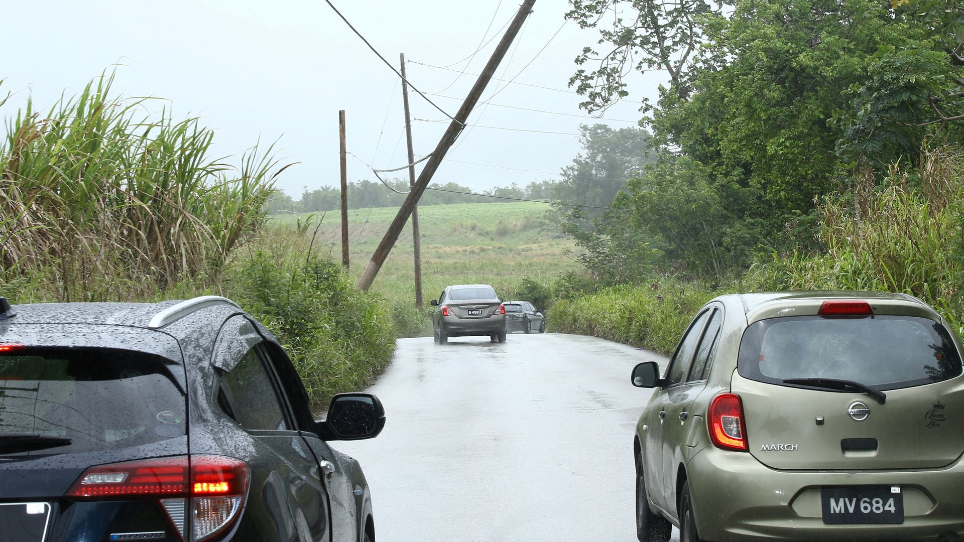
THREE TROPICAL DISTURBANCES ARE ALL LINED UP BETWEEN THE CARIBBEAN AND AFRICA —
AND ALL MOVING WEST.
IT’S A BUSY — AND UNUSUAL — START TO HURRICANE SEASON ACCORDING TO A HURRICANE SPECIALIST.
THE ONE CLOSEST TO THE ISLANDS IS TROPICAL STORM BRET —
WIND SPEEDS COMING IN JUST UNDER “HURRICANE-STRENGTH” AS IT PASSED NEAR BARBADOS.
BEHIND BRET —
IS TROPICAL STORM CINDY —
WITH A TRACK-FORECAST TOWARDS THE OPEN NORTH ATLANTIC —
MEANING ITS LIKELY TO MISS THE ISLANDS COMPLETELY.
THERE’S EVEN A THIRD SYSTEM ALREADY BREWING OFF THE WEST COAST OF AFRICA.
BUT WITH HOT WATER ACROSS THE SEA SURFACE —
HURRICANE SPECIALISTS PREDICT THIS ONE COULD EVENTUALLY TAKE SHAPE.
CINDY IS THE THIRD NAMED STORM IN THE ATLANTIC —
WHICH NORMALLY DOESN’T HAPPEN —
UNTIL **AUGUST THIRD**.
THAT MAKES HURRICANE SEASON SIX WEEKS AHEAD OF SCHEDULE.
Media Landscape
This story is a Media Miss by the right as only 12% of the coverage is from right leaning media.
Learn more about this dataLeft 54%
Center 35%
Right 12%
Bias Distribution
40 other sources covering this story
Total News Sources
40
Leaning Left
14
Center
9
Leaning Right
3
Last Updated
1 year ago
Bias Distribution Powered by Ground News™
MOST POPULAR
-
 AP Images
N. Korea hackers steal military secrets, hit Air Force bases, NASA, US says
-
 Getty Images
A convicted child rapist is competing in Paris Games, many want to know why
-
 Reuters

Attacks disrupt trains ahead of Olympics opening ceremony
-
 Getty Images
Philly workers furious over mayor’s order that they return to their offices