U.S.

Record 87% of US faces drought amid shifting weather patterns

Share

A record 87% of the contiguous United States experienced dry or drought conditions as of Oct. 31, according to the latest data from the U.S. Drought Monitor. The widespread dry spell surpassed previous records of 85% in early November 2022 and 80% in July 2012.

The recent expansion of drought conditions followed an unusually dry October, which kept much of the nation parched. However, the month closed with some rainfall in the Central United States, signaling a potential shift toward wetter conditions in some areas.

QR code for SAN app download

Download the SAN app today to stay up-to-date with Unbiased. Straight Facts™.

Point phone camera here

In recent weeks, multiple rounds of heavy rain and severe weather swept through parts of the Central U.S., centered around Oklahoma. On Monday, Nov. 4, meteorologists warned of more rain and an elevated tornado risk after days of severe weather in the region.

The scale of drought doubled between late June, when it covered about 45% of the lower 48 states, and the end of October, when it spanned 87%. The Central United States saw particularly severe impacts, with large areas of the southern Plains suffering under moderate to severe drought.

However, recent rainfall provided some relief in those areas, raising hopes for an improvement in November.

“Drought is notorious for ending with a flood, as it often takes copious moisture to break a lengthy dry spell,” the U.S. Drought Monitor said. “But quick flips between intense rounds of dry and wet are being exacerbated by human-caused climate change.”

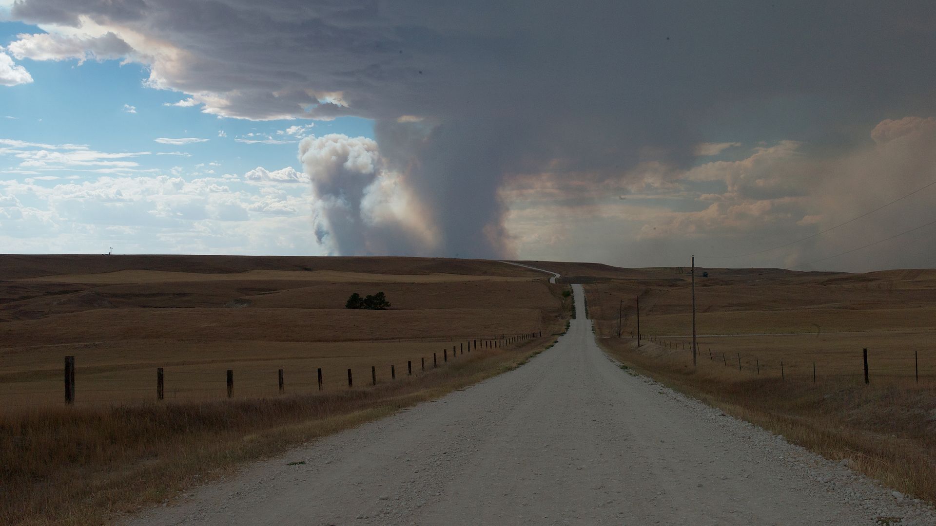
These rapid shifts in weather have had significant impacts. Last week, wildfires ignited in Oklahoma, Nebraska and parts of the southern and Central Plains, driven by gusty seasonal winds. Days later, some of those same areas were under flood watches due to incoming moisture.

Meteorologists said the latest pattern, with storm systems sweeping from the Northwestern to Central United States, could persist for a time.

The center of the driest air mass recently moved east, pushing record spells without rain closer to the coast. This evolving weather pattern indicates a stormier Western and Central U.S. may coincide with a drier Eastern region, according to forecasters.

A La Niña climate pattern, which typically forms over winter and brings cooler-than-average water to the equatorial Pacific, has not yet developed but remains likely, according to meteorologists. 

They said La Niña conditions often bring a dip in the jet stream over the Northwestern U.S. and high pressure near the East Coast, producing cooler, wetter conditions in the storm-affected Northwest and warmer, drier conditions in the South.

The National Weather Service expects above-average precipitation in the Northwest and Central U.S. over the next several weeks, while the Northeast will likely stay dry. Warmer-than-normal conditions are also anticipated in the East.

Tags: , , ,

[Jack Aylmer]

A BONE-DRY FALL FOR MUCH OF THE UNITED STATES.

A RECORD 87-PERCENT OF THE LOWER 48 ARE CURRENTLY EXPERIENCING CONDITIONS RANGING FROM “ABNORMALLY DRY” TO VARIOUS LEVELS OF DROUGHT.

THIS IS A NEW HIGH, SURPASSING THE PREVIOUS RECORDS OF 85 PERCENT BACK IN NOVEMBER 2022 AND 80 PERCENT IN JULY 2012.

THIS RECENT EXPANSION OF DROUGHT CONDITIONS WAS DRIVEN BY A HISTORICALLY DRY OCTOBER, THOUGH THINGS HAVE STARTED TO SHIFT TOWARD A WETTER PATTERN IN SOME AREAS.

OVER THE PAST WEEK, MULTIPLE ROUNDS OF HEAVY RAIN AND EVEN SEVERE WEATHER HAVE BEEN IMPACTING PARTS OF THE CENTRAL U.S., ESPECIALLY AROUND OKLAHOMA.

STILL – THE DRY CONDITIONS ARE WIDESPREAD. TO PUT THIS IN PERSPECTIVE, THE EXTENT OF THE DROUGHT AREA NEARLY DOUBLED FROM LATE JUNE, WHEN IT WAS ABOUT 45 PERCENT, TO 87 PERCENT AT THE END OF OCTOBER. THE HARDEST-HIT AREAS HAVE BEEN ACROSS THE CENTRAL AND SOUTHERN PLAINS, WHERE MODERATE TO SEVERE DROUGHT HAS BEEN COMMON.

LOOKING AHEAD, NOVEMBER’S DROUGHT OUTLOOK SHOWS THE POTENTIAL FOR IMPROVEMENT FROM TEXAS ALL THE WAY TO THE GREAT LAKES, WHILE PARTS OF THE EASTERN U.S. MAY CONTINUE TO EXPERIENCE EXPANDING DRYNESS.

AND THESE CONDITIONS HAVE HAD REAL-WORLD CONSEQUENCES.

JUST LAST WEEK, LARGE WILDFIRES WERE BURNING IN OKLAHOMA, NEBRASKA, AND OTHER PARTS OF THE SOUTHERN AND CENTRAL PLAINS, FANNED BY SEASONAL WINDS. NOW, IRONICALLY, SOME OF THOSE SAME REGIONS ARE FACING FLOOD WATCHES AFTER RECENT RAINS.

SCIENTISTS SAY THE RAPID SHIFTS BETWEEN DROUGHT AND HEAVY RAINFALL CAN BE LINKED TO HUMAN-DRIVEN CLIMATE CHANGE, WHICH IS CONTRIBUTING TO MORE FREQUENT STAGNATIONS IN WEATHER PATTERNS.

THE NATIONAL WEATHER SERVICE IS PREDICTING A GOOD CHANCE FOR ABOVE-AVERAGE PRECIPITATION IN THE NORTHWEST AND MUCH OF THE CENTRAL U.S. OVER THE NEXT SEVERAL WEEKS TO MONTHS, WITH A GREATER LIKELIHOOD OF DRY CONDITIONS IN THE NORTHEAST. AND IN THE EAST, TEMPERATURES MAY STAY WARMER THAN USUAL.

WE’LL KEEP YOU UPDATED AS THESE PATTERNS UNFOLD.

FOR NOW, I’M JACK AYLMER FOR SAN