U.S.

Second winter storm threatens US, packing snow and ice

Listen
Share

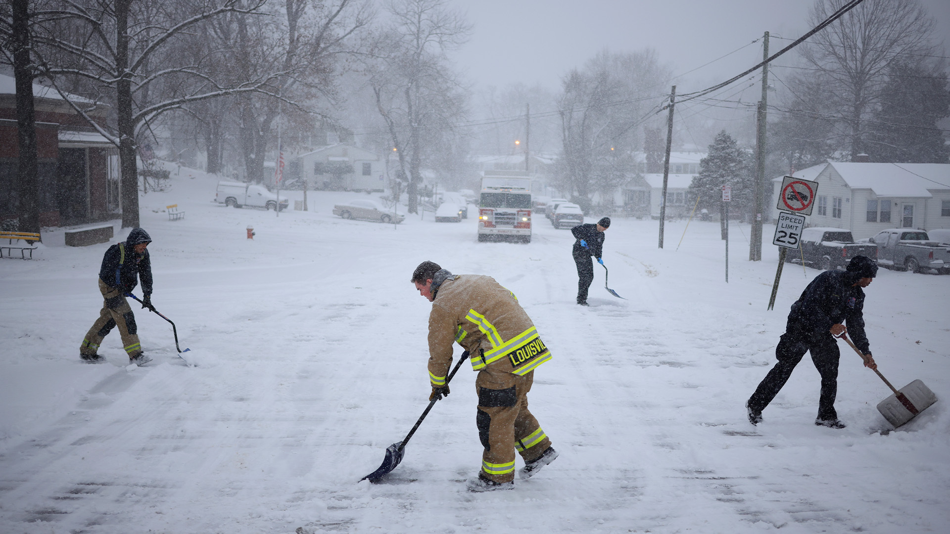
A second winter storm threatens millions across the U.S. as forecasters predicted a new storm system will bring a wintry mix to the South and Northeast. AccuWeather said the winter storm will hit Texas on Wednesday, Jan. 8, and move to the Northeast by the end of the week.

Media Landscape

See who else is reporting on this story and which side of the political spectrum they lean. To read other sources, click on the plus signs below. Learn more about this data
Left 100% Center 0% Right 0%
Bias Distribution Powered by Ground News

Dallas, Texas, could see one of its most significant snowfalls in recent years.

QR code for SAN app download

Download the SAN app today to stay up-to-date with Unbiased. Straight Facts™.

Point phone camera here

AccuWeather Chief Video Meteorologist Bernie Rayno forecasted several inches of snowfall in Dallas and along parts of I-20 in northern Texas.

Meteorologists at WFAA in Dallas predicted anywhere between two and five inches of snow Thursday, Jan. 9 into Friday, Jan. 10.

The National Weather Service issued a winter storm watch for Wednesday evening until Friday afternoon.

Austin, Texas; Little Rock, Arkansas; and Nashville, Tennessee, could also see snow and ice.

To the west, weather experts forecasted about one to three inches of snow in New Mexico along I-40. Forecasters also warned of single-digit wind chills.

Rayno said that if this second winter storm strengthens, Americans could see a big snowstorm from the Carolinas to the Mid-Atlantic. It could also potentially reach New England, he said.

Authorities also warned of possible power outages due to the extreme cold and ice.

The storm threatens major travel disruptions for the second weekend in a row, starting 2025 with flight delays and cancellations.

Tags: , , , , ,

JUST AS PLACES LIKE KANSAS CITY AND CINCINNATI GET BACK ON THEIR FEET AFTER A WINTER STORM CRIPPLED THOSE CITIES WITH DRIFTING SNOW AND UNDRIVEABLE CONDITIONS, HERE COMES ANOTHER WINTER STORM.
ACCU-WEATHER IS PREDICTING SNOW AND ICE FROM TEXAS TO THE OHIO VALLEY AND MID-ATLANTIC LATER THIS WEEK INTO THE WEEKEND. IN FACT, DALLAS COULD GET ONE OF ITS MOST SIGNIFICANT SNOWFALLS IN RECENT YEARS.
AccuWeather Chief Meteorologist Bernie Rayno said, quote – “There will be enough energy in this storm for snow and ice in parts of Texas. We are forecasting several inches of snowfall in Dallas and along parts of I-20 in northern Texas.”
IN FACT, METEOROLOGISTS AT WFAA IN DALLAS ARE PREDICTING ANYWHERE BETWEEN TWO AND FIVE INCHES OF SNOW, THURSDAY AND FRIDAY.
A WINTER STORM WATCH IS NOW POSTED FROM WEDNESDAY NIGHT UNTIL FRIDAY AFTERNOON. OTHER CITIES LIKE AUSTIN, LITTLE ROCK, ARKANSAS EVEN NASHVILLE, TENNESSEE COULD GET SNOW.
TO THE WEST, SNOW IS ALSO EXPECTED IN NEW MEXICO, WHERE FORECASTERS ARE PREDICTING ONE-TO-THREE INCHES ALONG I-40 WEDNESDAY INTO THURSDAY AND SINGLE DIGIT WIND CHILLS.
ACCUWEATHER SAYS THE SNOW WILL MOVE INTO THE TENNESSEE VALLEY FROM MID-WEEK, ONWARD. ICE WILL BE A FACTOR LATER THIS WEEK IN LOUISIANA, ARKANSAS, MISSISSIPPI, ALABAMA, GEORGIA AND THE CAROLINAS.
RAYNO SAYS IF THIS SECOND WINTER STORM STRENGTHENS, WE COULD SEE A BIG SNOWSTORM FROM THE CAROLINAS TO THE MID-ATLANTIC AND POSSIBLY REACHING NEW ENGLAND.
THE STORM COULD LEAD TO MAJOR TRAVEL DISRUPTIONS YET AGAIN FOR THE SECOND WEEKEND IN A ROW TO START 2025, WITH FLIGHT DELAYS AND CANCELLATIONS. IN ADDITION, POWER OUTAGES ARE POSSIBLE DUE TO THE EXTREME COLD AND ICE.
I’M CN FOR MORE UNBIASED UPDATES, DOWNLOAD THE STRAIGHT ARROW NEWS APP